Price: Free
Phone: (0206) - 3854 211
Time to visit a place: 120 phút
Open Time: 7:00 AM - Close Time: 6:00 PM
Email: sovhtt@caobang.gov.vn
Address: xa Quoc Toan, huyen Quang Hoa, tinh Cao Bang Tỉnh Cao Bằng
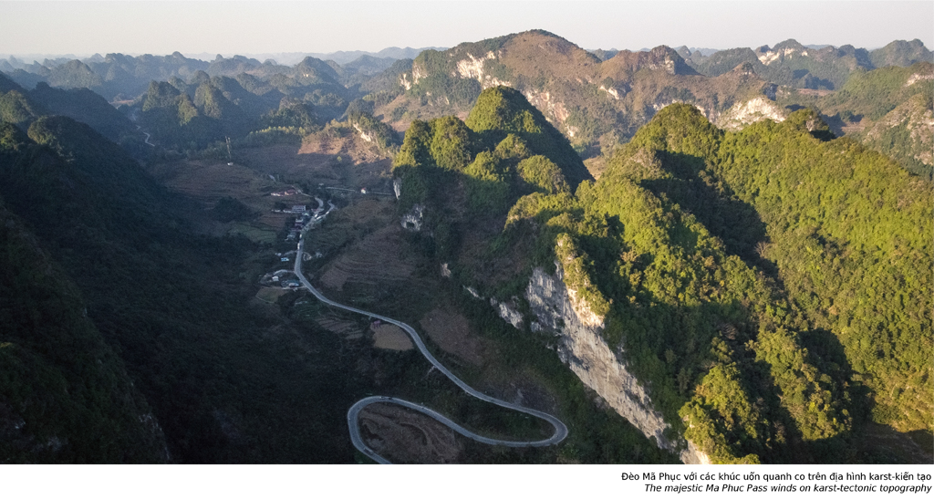
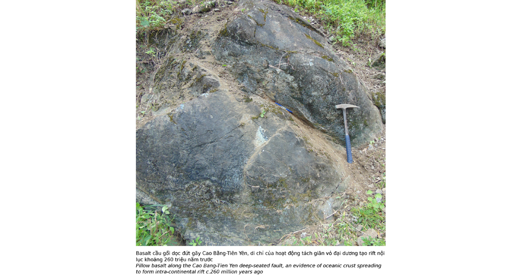
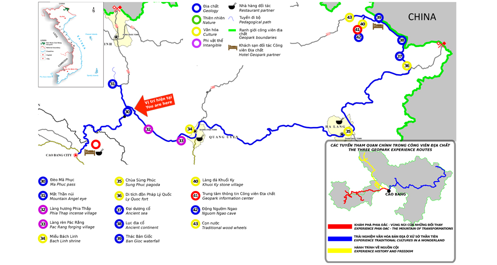
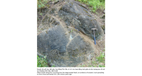
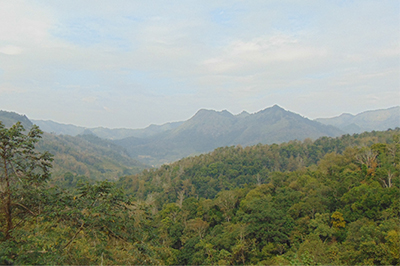
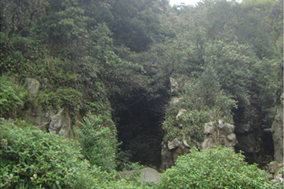
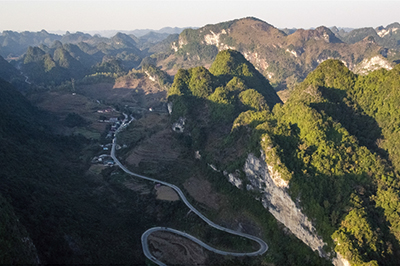
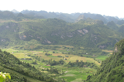
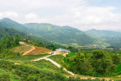
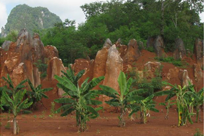
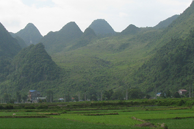
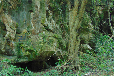
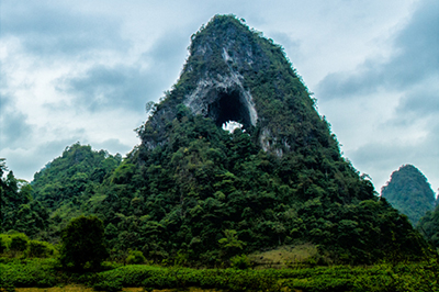
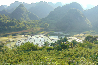
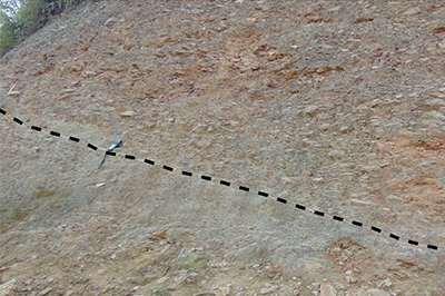
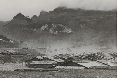
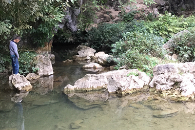
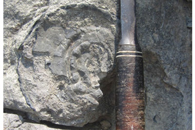
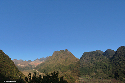
Ma Phuc pass is located in Cao Xuyen village, Quoc Toan commune, Tra Linh district. More than 3.5km long at an altitude of 700m asl, the pass has seven steps and is considered one of the most beautiful passes in Cao Bang. The pass winds between two high limestone mountain ranges and constitutes, at its bottom, an exceptional geosite. Here, in contact with the limestone (white rock) can be seen a blackish green rock with rounded shape - the so-called pillow basalt.
In this area, many submarine volcanoes were active c.260 million years ago. Erupted under sea water the lava cooled down very quickly to result in rounded, stacked pillows (pillow lava). The size and colour of the pillows vary depending on lava composition (basic, intermediate or acidic). More than often one sees blackish green, small-sized (commonly up to one metre in diameter) pillows of basic composition, which rock is, therefore, also called pillow basalt.
Today, a large number of submarine volcanoes are located near areas of tectonic plate movement, known as mid-ocean ridges. Although most submarine volcanoes are located in deep oceans (erupting basic lava), some also exist in shallower water (more acidic in composition), and these can discharge, in addition to lava under water, also ash, bomb and gases etc. into the atmosphere during eruptions.
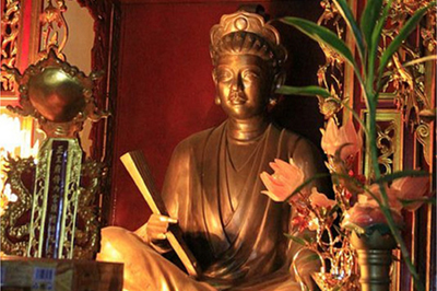
The total number of submarine volcanoes is estimated to be over 1 million. Besides the exceptional geological interest Ma Phuc pass is also a place of intangible eritage. According to legend, in the 11th century, a leader of the Nung people named Nung Tri Cao led the local people to fight against the Song army from the north. Once returning from a patrol along the border, at Quoc Toan commune of the present day Tra Linh district, he faced this high, winding and steep pass, and his horse was crippled and could not move on. The mountain was since named An Lai, literally meaning to stop, and the pass was named Ma Phuc, literally meaning a kneeling horse.





Distance: 4.89 km
Distance: 10.79 km
Distance: 11.20 km
Distance: 11.35 km
Distance: 11.52 km
Distance: 11.54 km
Distance: 11.57 km
Distance: 11.58 km
Distance: 11.68 km
Distance: 11.70 km
Distance: 11.70 km
Distance: 10.40 km
Distance: 11.13 km
Distance: 11.35 km
Distance: 11.62 km
Distance: 11.65 km
Distance: 11.93 km
Distance: 11.94 km
Distance: 12.13 km
Distance: 0 m
Distance: 2.84 km
Distance: 5.21 km
Distance: 6.18 km
Distance: 10.04 km
Distance: 11.58 km
Distance: 11.67 km
Distance: 12.21 km
Distance: 18.28 km
Distance: 19.37 km


