Price: Free
Phone: (0206) - 3854 211
Time to visit a place: 120 phút
Open Time: 7:00 AM - Close Time: 6:00 PM
Email: sovhtt@caobang.gov.vn
Address: Xa Tam Kim, huyen Nguyen Binh, tinh Cao Bang Xã Tam Kim, Tỉnh Cao Bằng
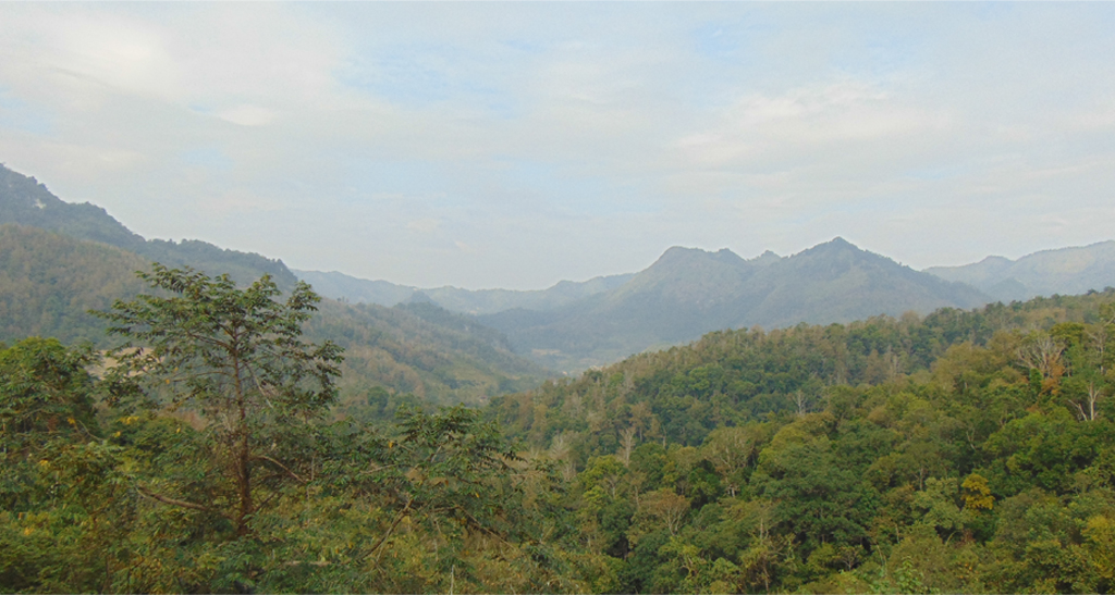
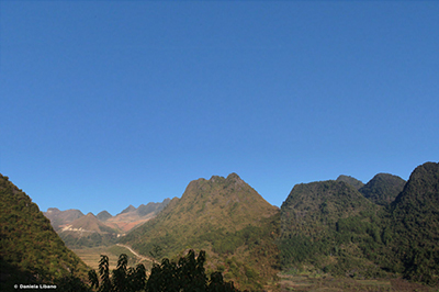
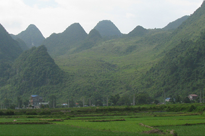
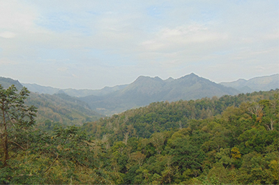
The observation site is along side the provincial road in Tam Kim Commune, Nguyen Binh District. The majestic landscape represents a variety of terrains on different rocks and imprints of endogenous (a geological process that originates from inside the Earth, for example volcanic eruption or tectonic faulting) and exogenous (opposite of endogenous, for example erosion or weathering) processes.
From this site, hilly terrain with rounded, flat peaks and gentle slopes on clayish shale (so-called Song Hien Formation, formed c.250 million years ago, Triassic period) can be seen. In the far distance is the rugged terrain on thin-bedded limestone (so-called Na Quan Formation, formed c.400 million years ago, Devonian period), which was cut by a fault to create a long, steep cliff. The higher and rugged terrain of limestone combined with the lower and gentle relief of shale resembles a giant cockscomb, that’s why the name of the mountain.
In stratigraphical order, the limestone should have been located under the clayish shale. however, due to tectonic displacement, some part of the terrain has been uplifted and exposed. Subsequent erosion might be strong enough to denude the upper part. As a result, the limestone is now at a higher altitude than the shale. The entire terrain continues to be modified by recent tectonic activities, represented by slopes with steep cliffs and deeply eroded valleys etc.


















Distance: 19.76 km
Distance: 0 m
Distance: 770 m
Distance: 4.04 km
Distance: 11.10 km
Distance: 11.54 km
Distance: 15.80 km
Distance: 18.87 km
Distance: 19.46 km
Distance: 19.76 km


